The Priory Church of St Peter and St Paul in Leominster

LEOMINSTER HERITAGE

Putting historic Leominster on the map

Leominster Heritage is an independent project bringing together the town's historic buildings, archaeology, historic photographs, documentary research and local knowledge in one growing public record. It helps people explore how Leominster developed, understand evidence hidden within familiar places and add information that may not appear in official sources.

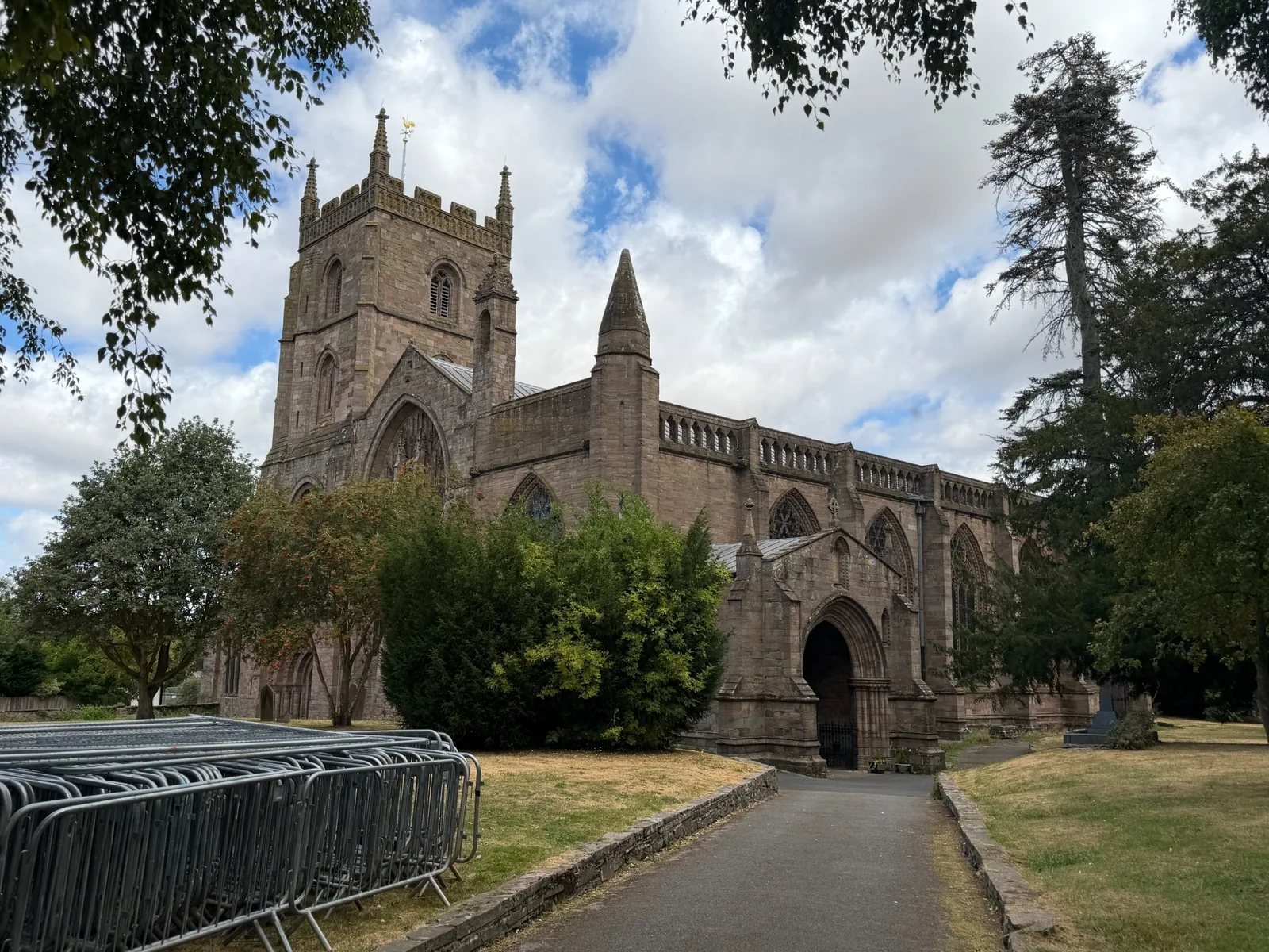
The Priory Church, © Leominster Heritage

Follow Leominster Heritage

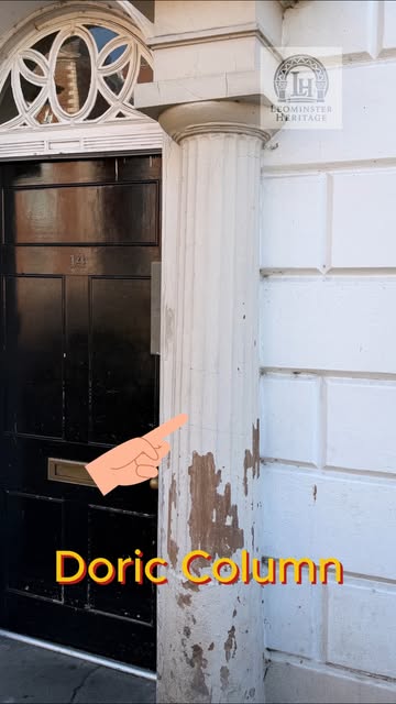
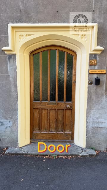
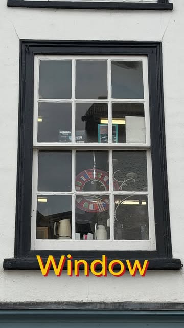
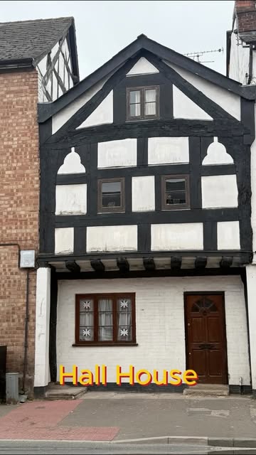
From corbels to bargeboards, follow the films, songs and discoveries.

EXPLORE THE MAP

Start with a place and follow the evidence

Move from familiar streets to individual buildings, archaeological finds and historic photographs. The map brings separate sources together, while keeping clear where each record came from.

Explore the map

Loading map…

Select a marker to open its record.

SELECTED DISCOVERIES

Discover the town in layers

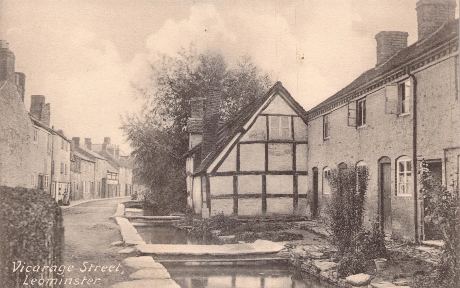
A small detail, an altered frontage or an old photograph can change how a familiar place is understood. These examples introduce the kinds of evidence the record brings together.

Browse places
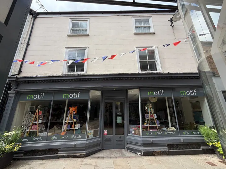
12 and 14 Drapers Lane, Frontal east view; principal Drapers Lane elevation

Below the frontage

A cellar clue at 12 and 14 Drapers Lane

A street-level cellar grille is a small visible sign of the space below this eighteenth-century building and a starting point for closer recording.

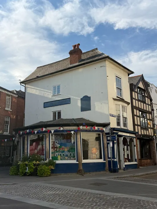
12 and 14 Drapers Lane, with cellar grilles below the shopfront.© Leominster HeritageView the record

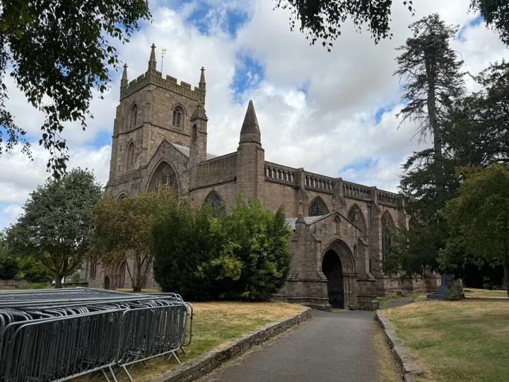
The Priory Church of St Peter and St Paul, Oblique south-west view; west tower, west front and south aisle

An overlooked interior

A wall painting within the Priory

The familiar Priory is also a layered interior. Its listed features include a surviving wall painting alongside Norman, thirteenth and fourteenth-century fabric.

Priory exterior from the south-west. The interior wall painting is not shown.© Leominster HeritageView the record
JOURNAL

Journal, coming soon

For launch, explore Leominster through the map. Journal articles will follow.

Explore the map
Occasional project updates by emailRegister your interest

A short note when there is something new to share: discoveries, research and ways to take part.

Email updates are being prepared. Registering here records your interest; no emails are sent automatically yet.

Your address stays private. You can ask us to remove it at any time.

A GROWING RECORD

What’s next

More archives and photographs, new ways to explore the town, and opportunities to share skills and discoveries. Read our plans for research, digital mapping, community contributions, events and training.

Explore our plans and wider ambitions

CONTRIBUTE

Local knowledge can reveal what official records miss

Identify a photograph, share a building detail, suggest a correction or tell us about evidence that deserves closer recording. Every contribution is reviewed before publication.

Add to the record

THE RECORD SO FAR

A clear account of what is currently mapped

450 mapped records across 6 record groups, alongside 5 conservation-area overlays.

Mapped records
450
Listed building records
269
Conservation-area overlays
5
Photo references across 124 buildings
142