
Interactive map
Explore buildings, archaeology, historic photographs and other records across Leominster.
Loading map…
Wall to Garden of Number 20
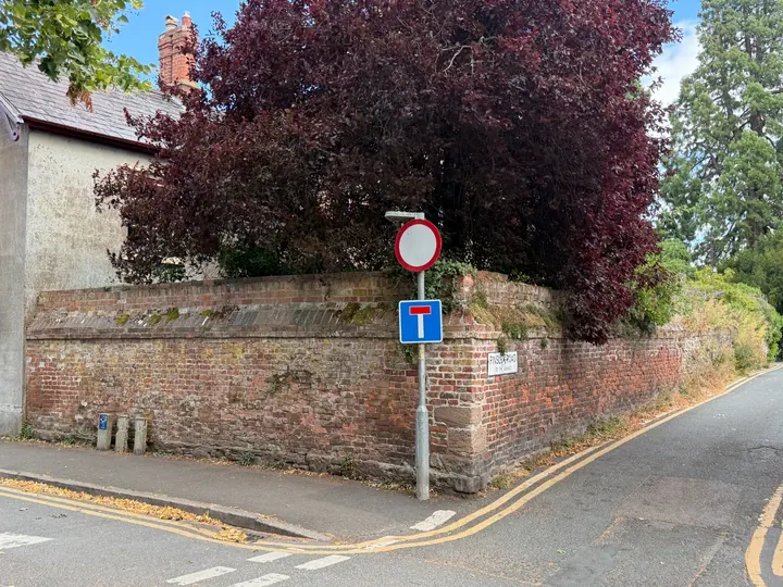
Garden boundary wall; possible relationship to Priory · Medieval and later; 18th century and 19th century brick · Grade II listed building
CHURCH STREET (South side) Wall on north-west and south-west of garden of No.20) Wall. Medieval and later. Sandstone rubble; C18 and C19 brick.