
Interactive map
Explore buildings, archaeology, historic photographs and other records across Leominster.
Loading map…
39 High Street
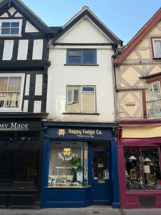
Shop and dwelling at NHLE2022 date · NHLE late 16th century/early 17th century versus RCHME probable late 17th century/early 18th century. Shopfront late 19th century/early 20th century, windows mid 20th century. · Grade II listed building
Timber-framed house constructed during the late-C16 or early-C17, altered during the C18. A shopfront was inserted in the late-C19 or early-C20, along with alterations to windows and interiors.