
Interactive map
Explore buildings, archaeology, historic photographs and other records across Leominster.
Loading map…
6 Corn Street
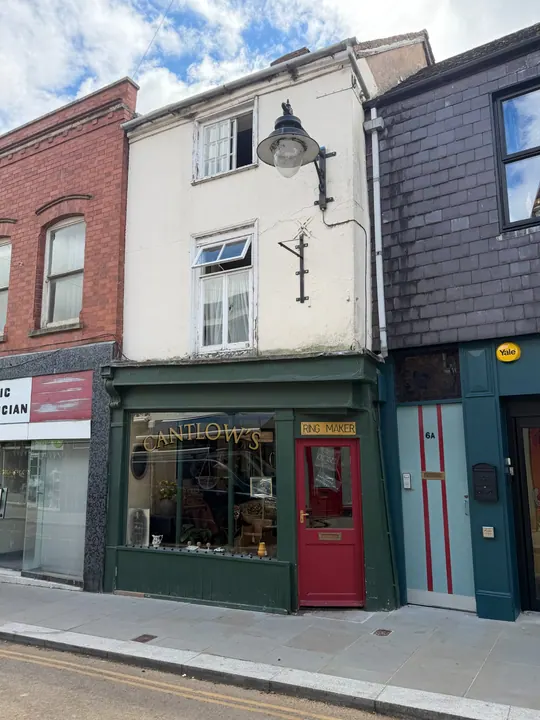
Shop with dwelling above, documented2022 · LateC16/earlyC17 front; probablyC17 rear; 19th century raising rendering and shopfront; 20th century changes · Grade II listed building
Shop with dwelling above, constructed during the late-C16 or C17, extended to the rear (south) during the C17 and altered during the C19, when the front range was raised and a new shop front installed.